It converts point data into CAD in order to generate topographical maps.
Software that is used for creation & quantity calculation.
Performs civil engineering calculations for hydrology, open channels and more.
Stand alone software version of the surveying and earthwork.
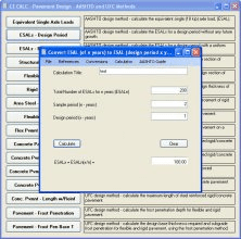
Performs civil engineering calculations for traffic/road geometry.